Program Year
2026
Status
Active | In Progress
Last Certification Date
2/24/2020
Certified Since
2/24/2020
Habitat Locations
By Zip Code - 19707 , 19707, 19807
Registered On
10/1/2017
Links and Uploads
View Links and Uploads
My Certified Wildlife Habitats
My Annual Activity Points
Total Re-Certification Points
Community Spotlight
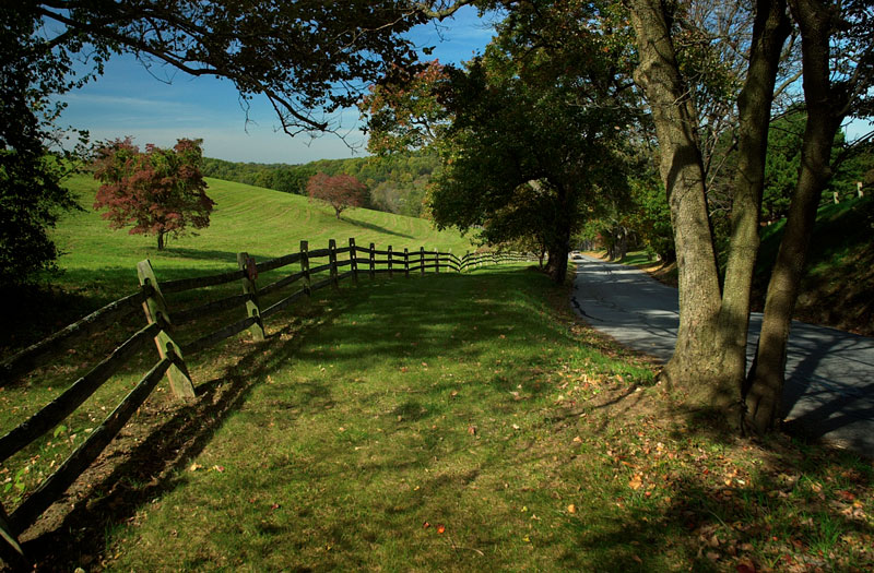
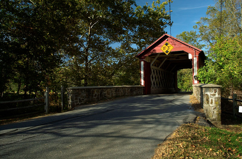
Scenic beauty
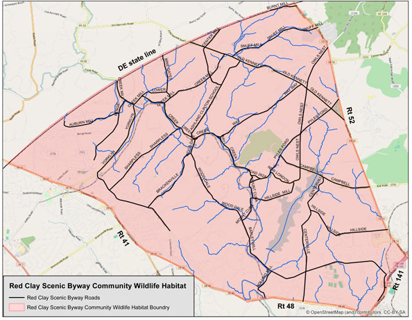
Red Clay Valley Wildlife habitat Community bounda